Über GeoDin
Vielen Dank für Ihr Interesse an GeoDin. Wir freuen uns, Sie näher kennenzulernen und möchten, dass Sie mehr über uns erfahren. GeoDin gibt es seit fast drei Jahrzehnten und wir haben zahlreichen geotechnischen Ingenieuren bei der Verbesserung ihres Datenmanagements und der Berichterstattung geholfen und so die Unterstützung tausender Geoprojekte ermöglicht. Von kleinen Beratungsorganisationen über Regierungen bis hin zu großen Unternehmen: Unsere Software wird von vielen genutzt.

29 Jahre Erfahrung
GeoDin steht seit fast drei Jahrzehnten an der Spitze des geotechnischen Datenmanagements und bietet hochmoderne Softwarelösungen, die für geotechnische Ingenieure und ihren Teams zugeschnitten sind. Mit einer über 29-jährigen Erfahrung gilt GeoDin als die bevorzugte Lösung für geotechnische Analysen in verschiedenen Sektoren, darunter Industrieunternehmen, Universitäten und Regierungsbehörden. Mehr als 15.000 Projekte weltweit haben die Funktionalität von GeoDin genutzt und unser Engagement für Exzellenz im geotechnischen Datenmanagement unter Beweis gestellt.

Geodaten verwalten, integrieren und visualisieren
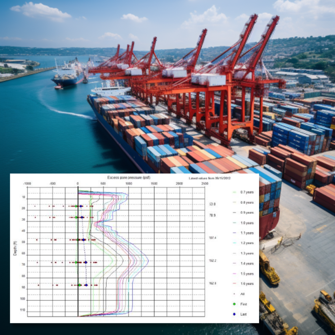
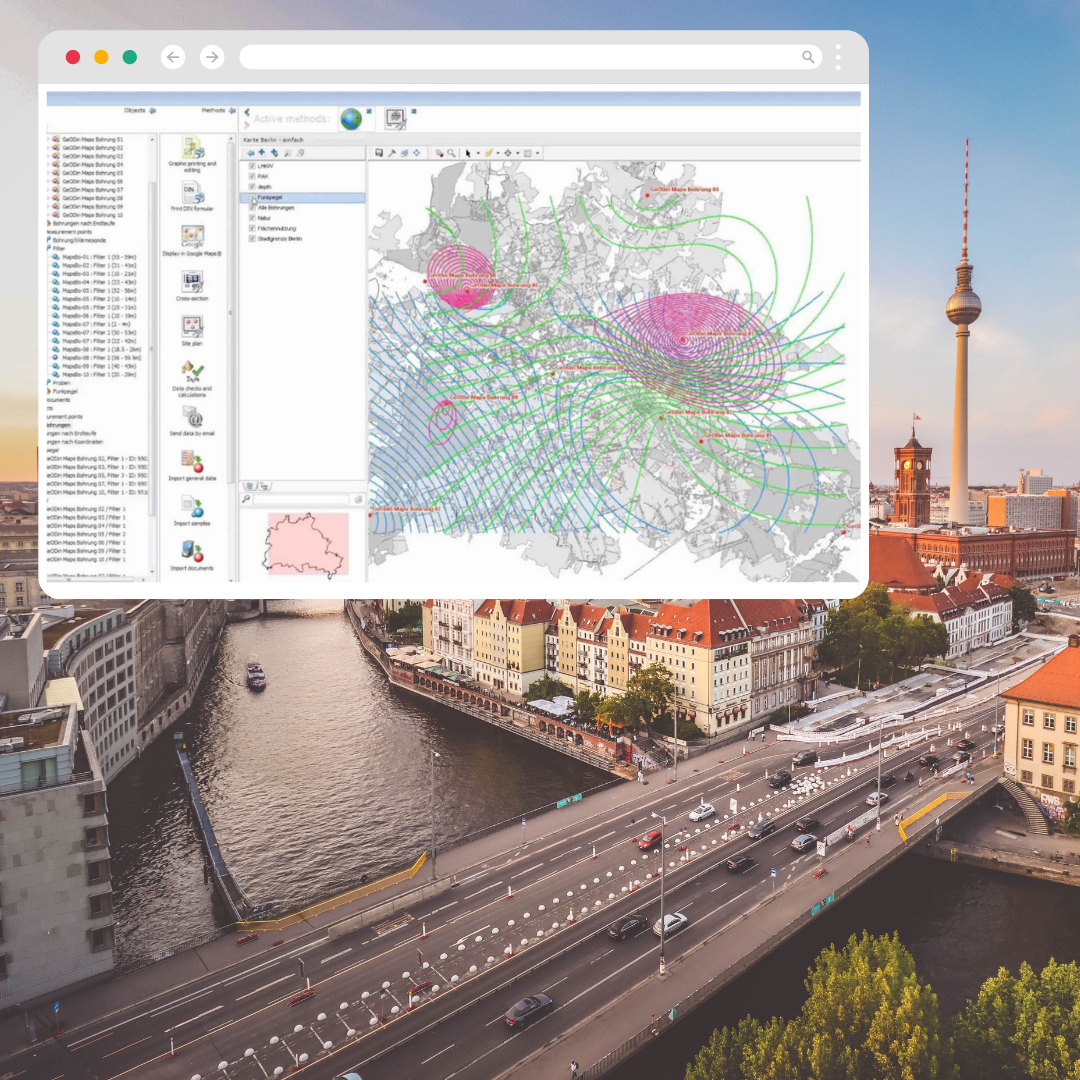
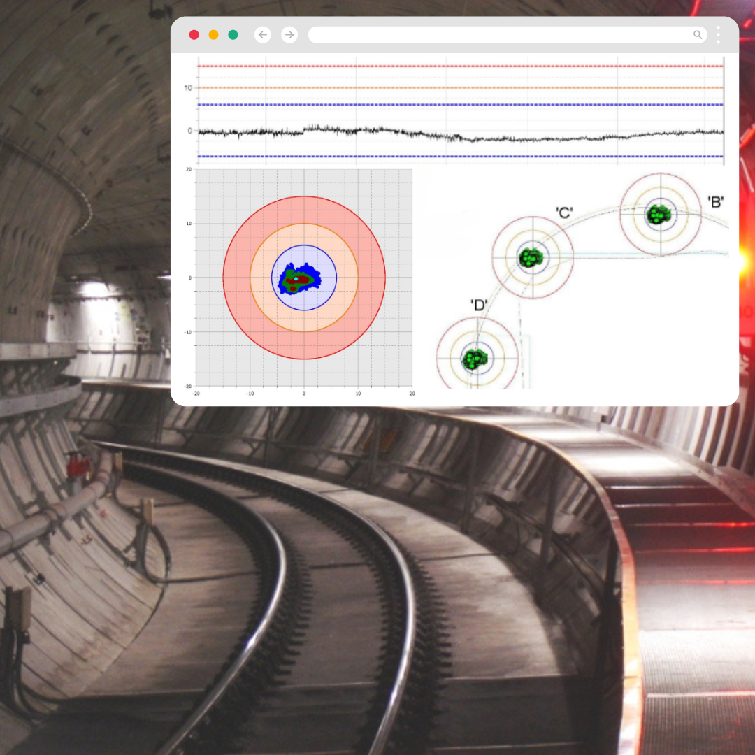
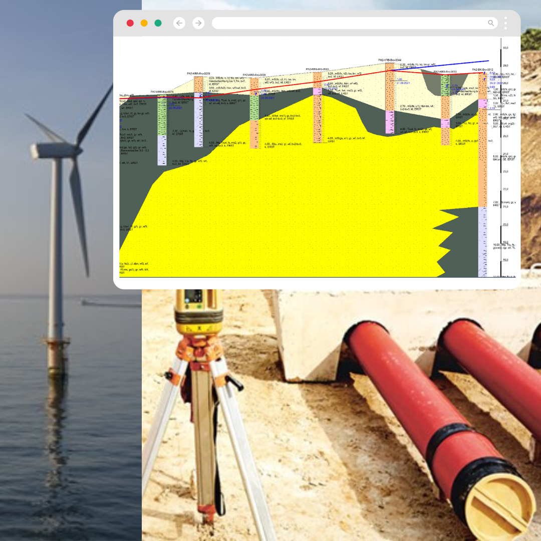
GeoDin bietet eine Reihe fortschrittlicher Tools zur Verwaltung, Integration und Visualisierung geotechnischer Daten. Unsere Produkte decken verschiedene Anforderungen ab, von der einfachen Datenpräsentation bis hin zur umfassenden Datenverwaltung und webbasierten Darstellung. Mit Funktionen wie mehrsprachigen Bohrlochprotokollen, Profilschnitten, Lageplänen und benutzerdefinierten Abfragen ermöglicht GeoDin eine effiziente und genaue Datenanalyse. Unser Engagement für die Unterstützung höchster geologischer Standards und die Integration von GIS-Funktionen stellt sicher, dass unsere Kunden komplexe geotechnische Herausforderungen einfach und präzise bewältigen können.

Von geotechnischen Ingenieuren entwickelt
GeoDin wurde von engagierten geotechnischen Ingenieuren gegründet und sorgfältig entwickelt. Diese Spezialisten, die tief in der Geotechnik verwurzelt sind, haben ihr umfangreiches Wissen und ihre praktische Erfahrung gebündelt, um eine Lösung zu schaffen, die die komplexen Anforderungen des geotechnischen Datenmanagements effektiv erfüllt. Ihr Fachwissen war maßgeblich an der Entwicklung unserer Software beteiligt, die nicht nur den technischen Anforderungen der Branche gerecht wird, sondern sich auch mit der sich verändernden Landschaft weiterentwickelt. Dieser ingenieurgesteuerte Ansatz ist ein Eckpfeiler des Erfolgs und der Zuverlässigkeit von GeoDin in diesem Bereich.

Build on Solid Ground
Unsere Mission können Sie auf unserer Titelseite lesen. „Build on Solid Ground“. Mit unserem Team aus über 25 Experten streben wir jeden Tag danach, diese Aussage umzusetzen. Wir möchten, dass Sie sich beim Aufbau Ihrer Datenbank sicher fühlen können und dass das Team Vertrauen in seine Entscheidungsfindung hat. Das Ziel, das wir alle anstreben, ist es, Bauwerke zu errichten, die stabil und zuverlässig sind. Unsere Mission kann also wörtlich und im übertragenen Sinne gelesen werden.
Werden Sie uns auf unserer Mission begleiten?
Vernetzen Sie sich mit unserem Team
In unseren sozialen Medien teilen wir regelmäßig Updates zu unserem Team und alles, was es Neues bei GeoDin gibt. Außerdem können Sie unsere engagierten Teammitglieder sehen. Folgen Sie unserer Seite und verbinden Sie sich.
